ABE 1996 Surveys
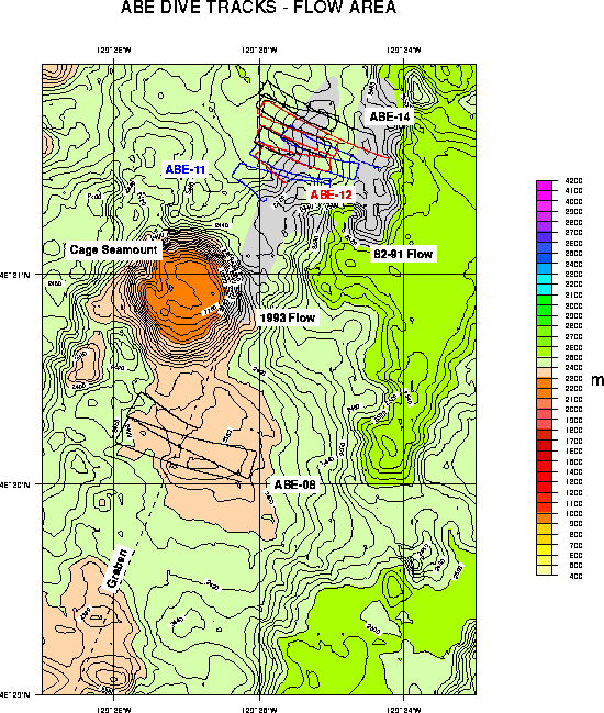
ABE carried on from where it finished off in 1995 (see ABE 1995 results) and completed tracklines across the remainder of the 1993 lava eruption site on the CoAxial segment of the Juan de Fuca Ridge at 46°31'N.
A scientific paper has been published in the journal Geophysical Research Letters describing the magnetic data collected by ABE and how it can be used to determine the thickness of the lava flow. 15/3/98
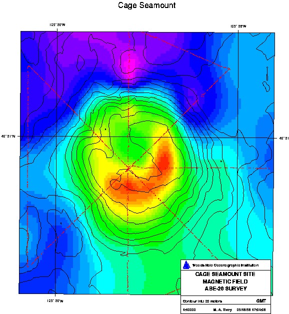
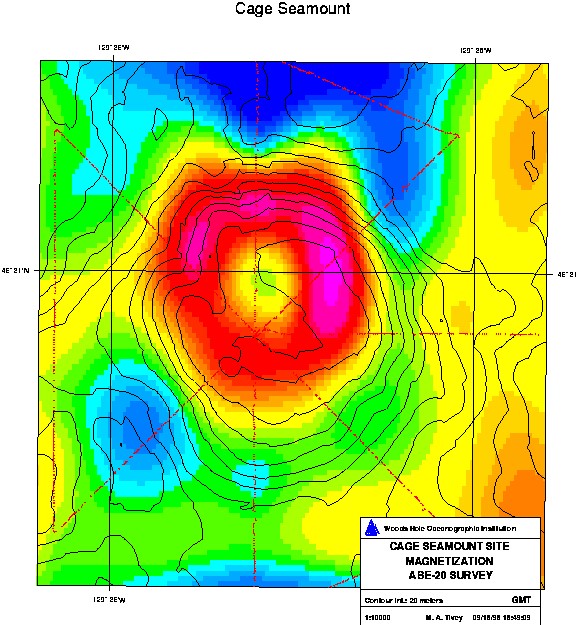
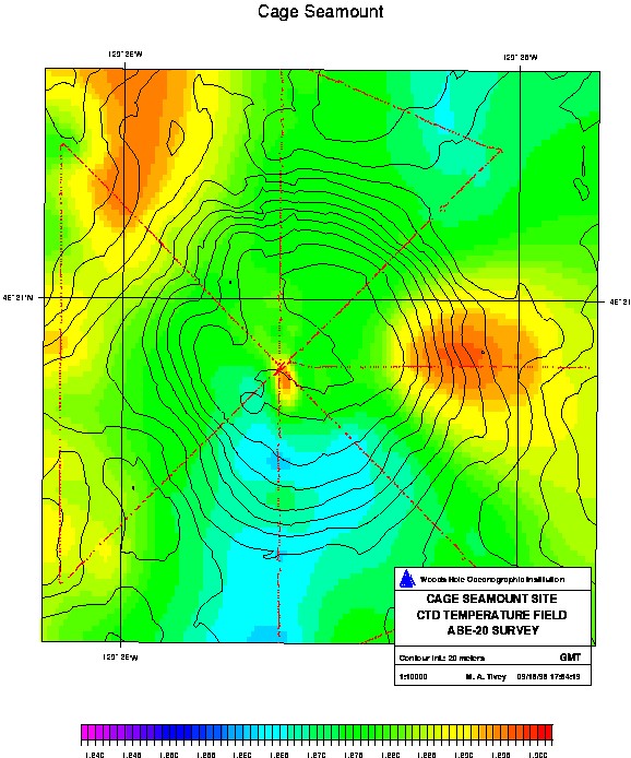
Cage Seamount Magnetic Survey
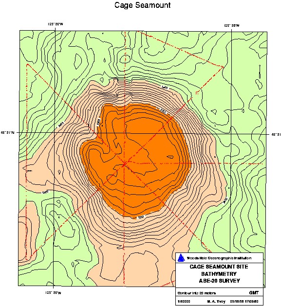
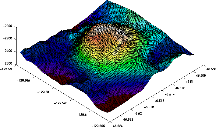
One dive of ABE during the 1996 survey was dedicated to surveying the magnetic field of Cage Seamount located just west of the Coaxial lava flow at 46°31'N.
ABE completed ~12 km of tracklines over the seamount collecting magnetic field and CTD data. ABE flew at a constant depth of 2200 meters. To see a Virtual Reality Model simulation of the mission check out the following web site by Craig Sayers.
You will need a VRML Level 2 browser to run the simulation.
