Juan de Fuca Ridge 2000 Cruise Highlights
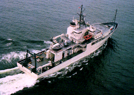
An ROV Jason cruise on board the RV Thomas Thompson led by scientists at the University of Washington and other research universities and institutions (click here for cruise list) used a new mapping tool to image the seafloor on the northern Juan de Fuca Ridge in October 2000. The SM2000 (Simrad 200 kHz) swath bathymetry system is a full 120 degree swath mapping system that is small enough to mount on the ROV Jason. This device was used to map two large hydrothermal vent fields and the rift valley of the Endeavour Ridge on the northern Juan de Fuca Ridge. A 3.5 km x 0.5 km area was surveyed over a period of 3.5 days consisting of approximately 12 survey lines 40-50 m apart that produces a 100% coverage map of the bathymetry. In addition to the bathymetric mapping, ROV Jason also carried a 3-axis fluxgate magnetometer and a CTD to give a multisensor coverage of the rift valley between the Main Endeavour vent field (MEF) and the High Rise vent field (HR) to the north.
Below we briefly describe the Jason 2000 mapping results. Please note that the data shown on this page are preliminary and subject to change.
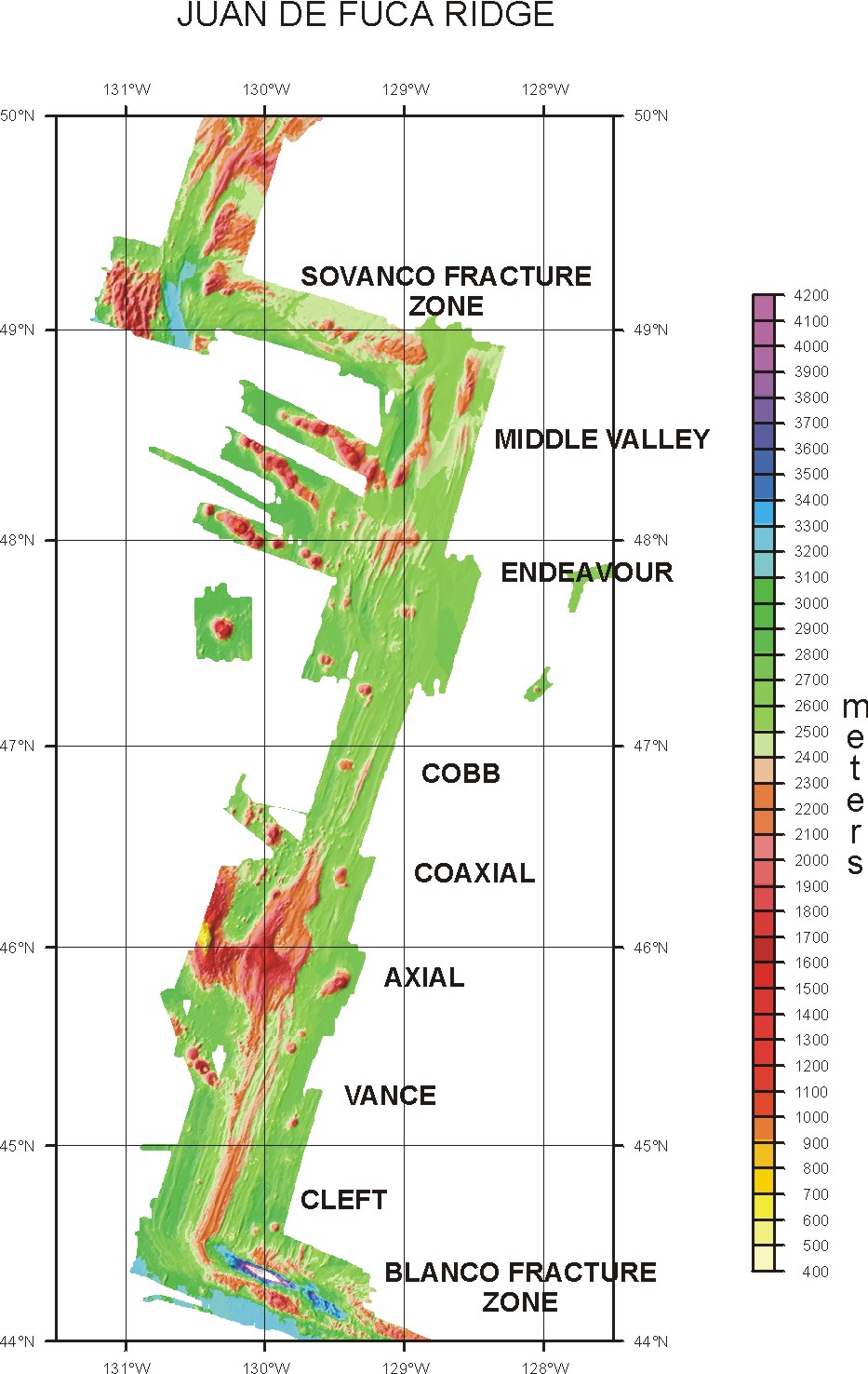
On the right is a bathymetry map of ultra-high resolution SM2000 data showing the seafloor depth, where warmer colors are shallower (oranges) and cooler colors are deeper (blues). Coordinates are shown in UTM meters incremented every 100 meters. Red patches are the previously mapped locations of hydrothermal vent structures (RIDGE web site : Robigou et al., 1993). The Main Endeavour vent Field is located near 5310700 N 492700 E and the High Rise vent field is located near 5312800 N 493400 E. A less active vent field "Clam bed" is shown near 5312300 N 493100 E.

To the right is an expanded scale map of the Main Endeavour vent Field bathymetry showing that even individual vent structures can be identified. Again the seafloor depth is shown where warmer colors are shallower (oranges) and cooler colors are deeper (blues). Red patches are the previously mapped locations of hydrothermal vent structures (RIDGE web site : Robigou et al., 1993).

To the right are two three-dimensional views of the Main Endeavour vent Field bathymetry looking from the south east showing some of the individual vent structures. The second figure has total magnetic field intensity superimposed over the bathymetry and shows magnetic low regions located over active vent systems.


The map on the right shows the total magnetic field measured over the Endeavour rift valley by ROV Jason. The warmer colors are higher magnetic field and the cooler colors are lower magnetic field. The magnetic field data show a number discrete magnetic anomaly lows that appear to be related to the location of hydrothermal vent structures. These magnetic lows most likely represent the demagnetized upflow zones beneath the active vent systems and as such quantitatively define the areal extent of these upflow zones. In addition, to the known vent systems there is clear evidence for newly identified hydrothermal vent systems located between Main Endeavour Field and High Rise. The magnetic low at 5311250 N 492900 E shows both a CTD temperature anomaly and active smoker systems on the seafloor when imaged with video cameras.

JASON Video Snapshots


