Research by Technique
Sea Surface Magnetic Field Studies
Sea surface magnetometers towed behind ships have been used to measure the magnetic field of the ocean basins since the Second World War. The magnetic field measured in this way typically show a characteristic pattern of magnetic stripes or anomalies that are often symmetrically arranged each side of a midocean ridge spreading center. Just after reversals in Earth's magnetic field were discovered in terrestrial lavas in the early 1960's, Fred Vine and Drummond Matthews (1965) published a classic paper that suggested that the igneous rocks of the ocean basins could also record these reversals and that the magnetic anomaly stripes were a recording of earths past magnetic field behavior. It turns out that the average depth of the ocean basins is just enough to filter the seafloor magnetic signal to produce a easily observed wiggle signal at the sea surface.
Deeptow Magnetic Field Studies
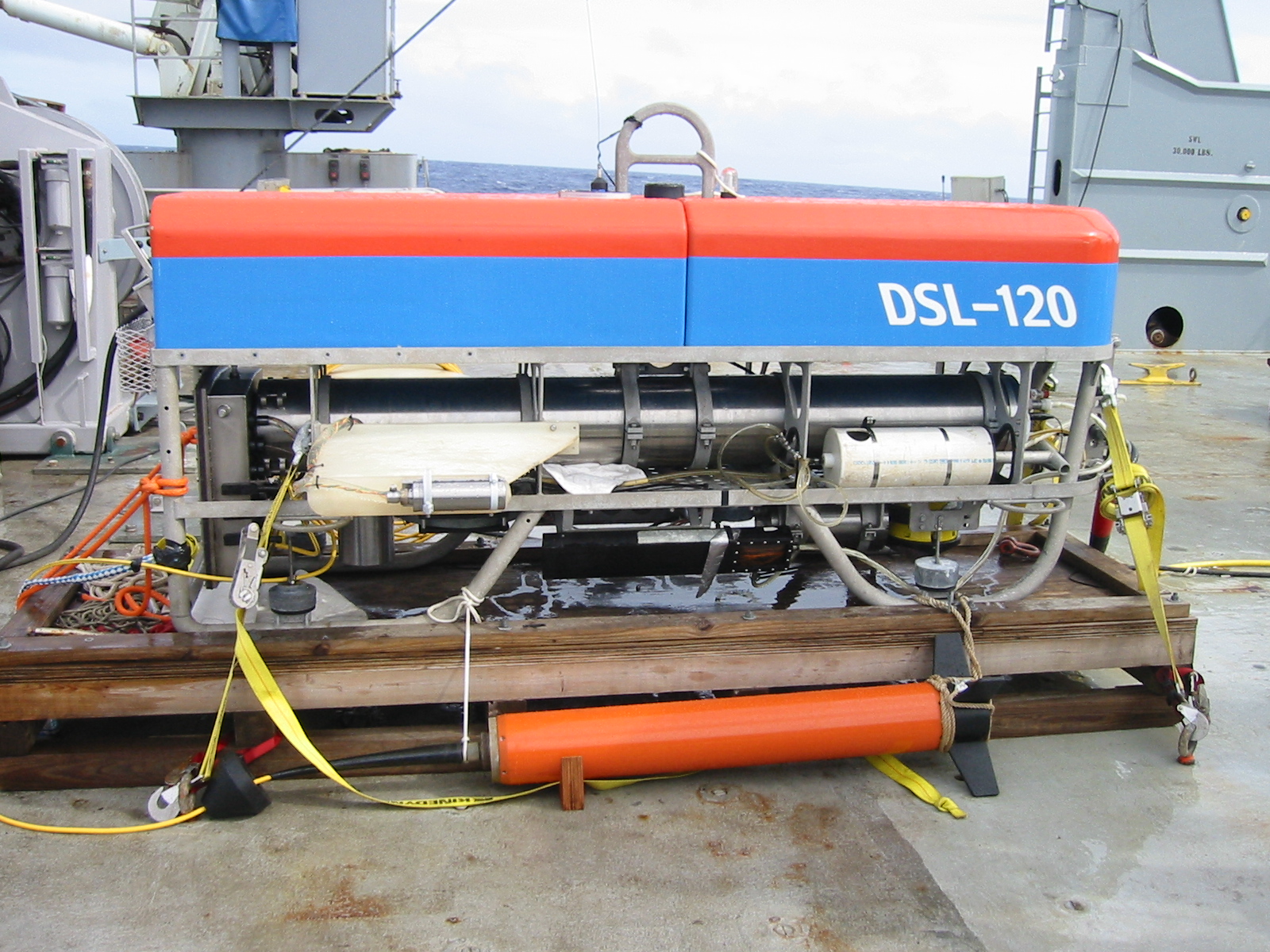
The spatial resolution of sea surface magnetic surveys is limited by the depth of the oceans, typically on the order of 2 to 4 km. Thus, shorter wavelength anomalies are often not well resolved. Deeptow magnetic surveys offer the opportunity to improve our resolution by towing a magnetometer near the ocean floor. Typical spatial resolutions are on the order of a few hundred meters. Along with this improved spatial resolution comes high amplitude and greater "noise" from topographic variations and towfish undulations.
Submersible Magnetic Field Studies
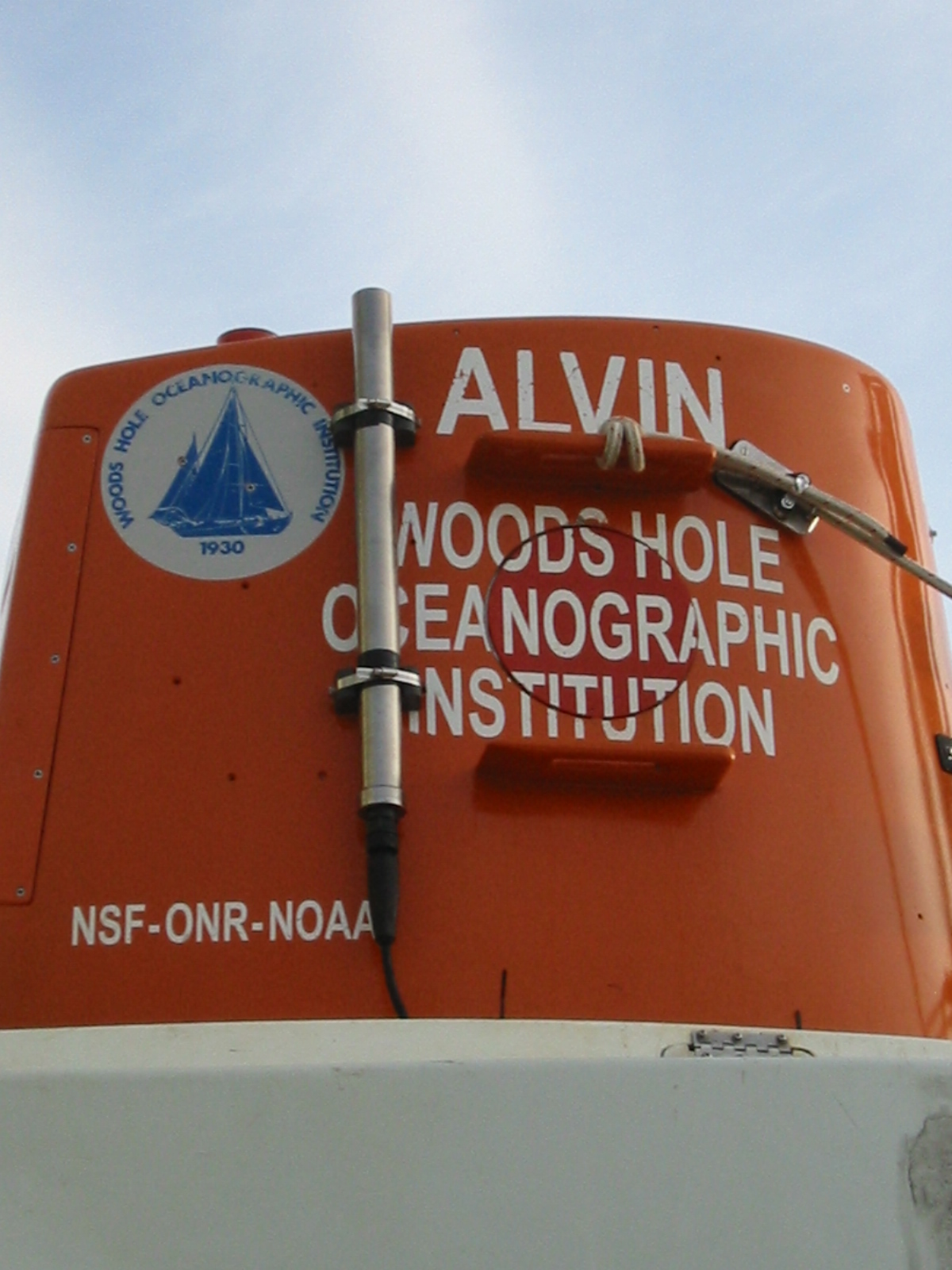
Submersible magnetic field mapping offers the highest resolution of magnetic surveys. My work has focused on using this kind of data for very specific types of problems. An important problem concerns the vertical structure of oceanic crust and what part of the crust is responsible for creating magnetic anomalies. I led an ALVIN cruise (BLANCOVIN) to the Juan de Fuca Ridge to look at a steep scarp wall at the Blanco Fracture Zone. Some links to past projects are shown below
ROV and Autonomous Underwater Vehicle Magnetic Field Mapping
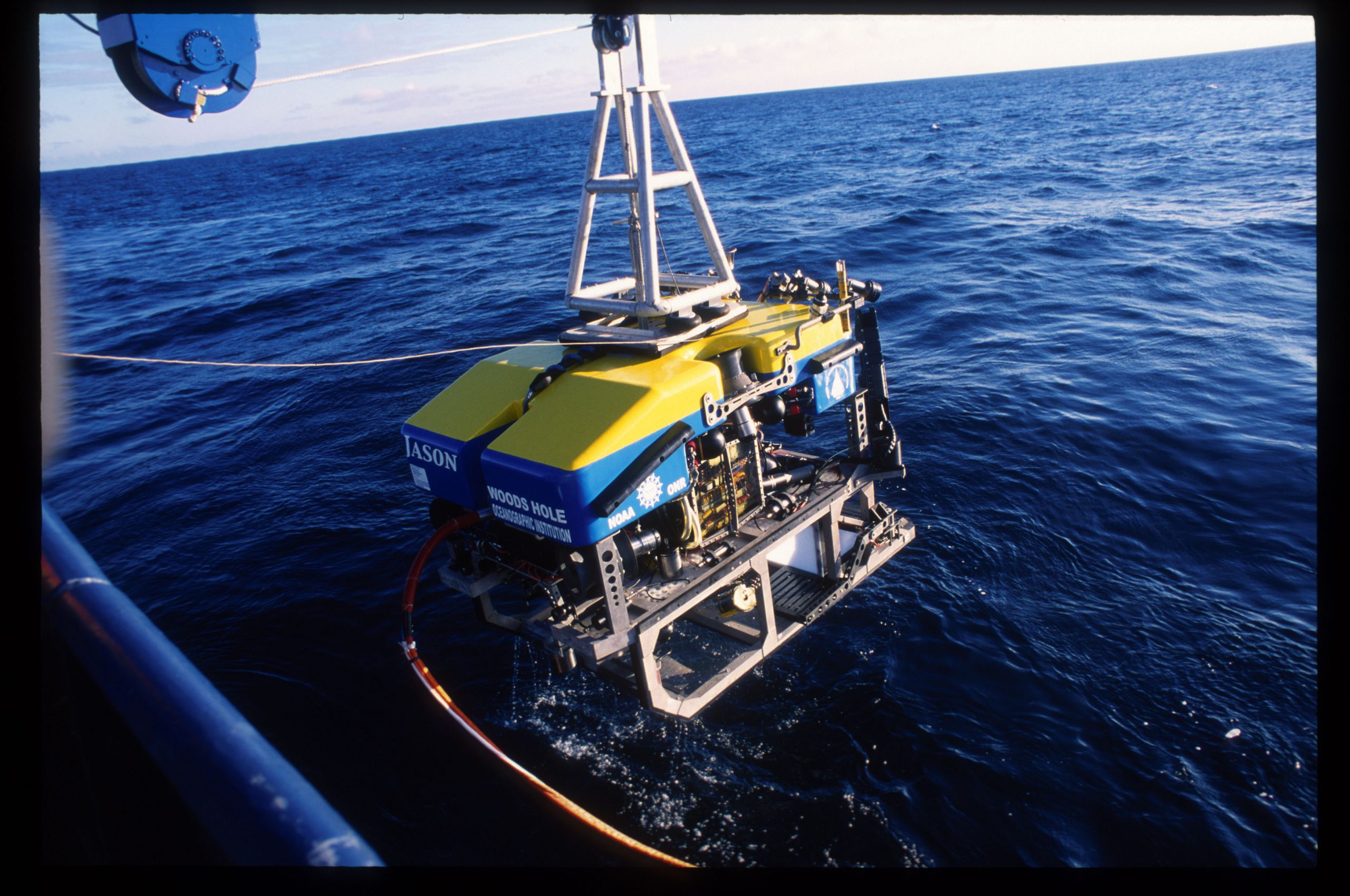
We are also using ROV and Autonomous Underwater Vehicles (AUV) to map the high resolution magnetic field over seafloor features to look at very young crust and how the magnetism changes over time. Also high-resolution magnetic field mapping can image the effects of hydrothermal venting on the ocean crust - by finding areas where the corrosive vent fluid has demagnetized the crust through chemical alteration.
Seafloor drilling
Along with Dan Fornari and the Deep Submergence Lab, WHOI also operates a 4-barrel 1-m ROV-mounted drilling system originally built by MBARI but now available to the science community through an NSF shared-used facility.


